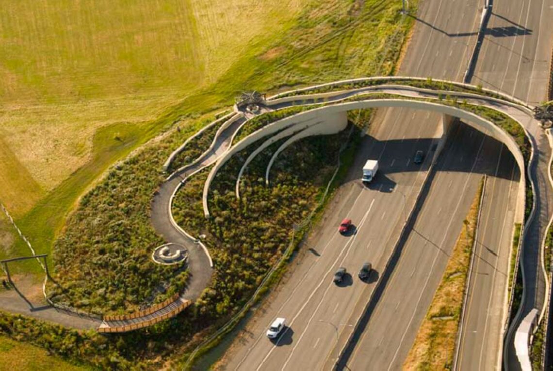
The Vancouver Land Bridge is a landscaped crossing that reconnects downtown with the Columbia River waterfront over State Route 14. The Confluence Project is a set of public artworks linked to the Lewis and Clark expedition, and it helps explain the region’s river history. Check current access and event schedules before you visit, since construction and programs can change.
Why Was the Land Bridge Built?
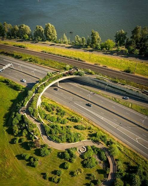
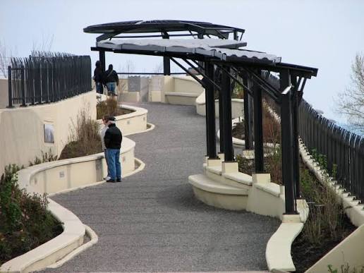 The land bridge was designed to reconnect downtown Vancouver with the river after a highway cut the two apart. Highways can divide neighborhoods, making walking routes longer and less pleasant. Crossing structures like this one help people reach the waterfront on foot or by bike while the traffic below continues.
Urban planners often use this approach to repair gaps left by major roads. Traffic keeps moving underneath, and people gain a continuous route over the top. The land bridge is best understood as a connection, not only a park.
What Can You See on the Land Bridge?
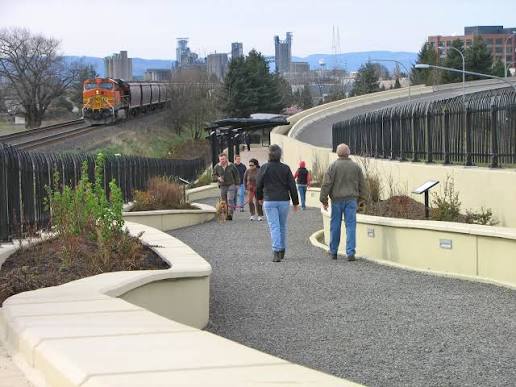
The crossing offers views over the highway and toward the waterfront. Plantings and design features give the structure a park-like feel. Walking across takes only a few minutes at an easy pace, but many people stop to watch the traffic and boats.
Look for any interpretive elements that connect the landscape to the region’s Indigenous history and river life. Signs and artwork may point out features that are easy to miss from the road. Take your time and read them, since the story is part of the experience.
What Is the Confluence Project?
 The Confluence Project is a regional public art initiative with sites across the Pacific Northwest, linked to the Lewis and Clark expedition of 1804 to 1806. Artworks invite visitors to reflect on the journey and the people who lived along these waterways. The project remains a useful starting point for understanding the area’s river history.
Vancouver’s land bridge is widely associated with the project, and other installations are spread along river routes. The project is less about a single monument and more about a route you can explore. Check current maps and site locations, since availability can change over time.
How Does the Project Connect to Local History?
The project links the Lewis and Clark journey to the Native peoples who lived along these rivers for thousands of years. Explorers passed through a landscape already rich with trade routes, villages, and seasonal camps. Understanding that context gives the expedition a fuller meaning.
Chinookan communities were active traders along the lower Columbia when the expedition arrived. Their knowledge of the river shaped travel and exchange long before the fur trade and settlement. Many visitors are surprised to learn how established the region already was.
What Should You Know Before Visiting?
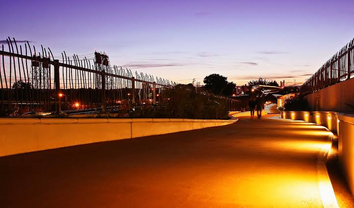 Plan to walk or bike, since the land bridge serves pedestrians and cyclists best. Parking is typically available in nearby downtown lots and on streets, though availability varies. Check the city’s current information for any closures or construction work. Give yourself enough time to enjoy the walk.
Weather matters on any open crossing. Bring a light rain jacket, sun protection, or layers depending on the season. Wind can be strong near the river, so secure hats and loose items. If you plan to photograph the crossing, morning light often gives softer shadows, though weather decides the final result.
How Can You Make the Most of Your Trip?
 Combine the land bridge with a walk along the waterfront and a stop at a nearby historic site. This pairing shows both the modern city and its older roots. Plan your visit around a time when the light is good for photos and the paths are less crowded.
Read the signs slowly and think about how the crossing changed the neighborhood. Consider sketching the view or jotting down a question to research later. Small habits like these turn a quick walk into a memorable lesson.
Frequently Asked Questions
Is the Vancouver Land Bridge free to use?
Public crossings like this one are generally open without charge, but it’s wise to confirm current rules. Some events or programs in the area may involve fees. Rules for events and bicycles can differ, too. Check the city’s website or call ahead before you plan your day.
Can I bring a bike across the bridge?
The land bridge is generally designed with walkers and cyclists in mind, so bikes are often welcome. Ride at a walking pace near crowds, and yield to people on foot. Check posted signs, since rules can vary by section and by season.
Do I need to know the history to enjoy it?
No, you can enjoy the views and walk without prior knowledge. Still, a little background makes the signs and art more meaningful. Reading a short overview of the Lewis and Clark journey and the region’s Indigenous history before you visit can help. The experience works on many levels.